Overall, the United States has about 264,837 square miles of water which is equivalent to only 7% of the total area of the entire country. Alaska has the largest total area of water at around 94,743 square miles, but which state has the highest percentage of water?
Percentage-wise, Michigan ranks first with 41.5% of its total area occupied by water. The state has over 64,980 inland lakes and ponds. Thus, sources of water in Michigan are so abundant. Coming in second is Hawaii at 41.2%, with five natural lakes.
Which State Has The Largest Total Area of Water?
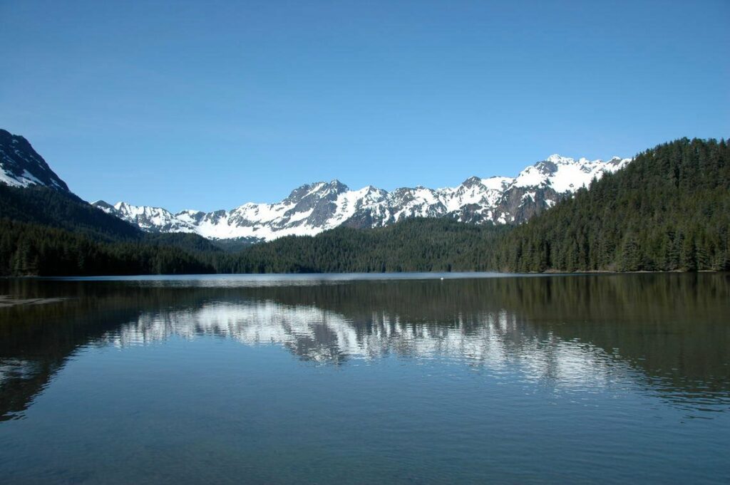
The state with the largest area of water is the state of Alaska, with over 94 thousand miles of water. Alaska has an estimated amount of 12,000 rivers, 3 million lakes larger than 5 acres, and several ponds and creeks that make up more than 14% of the total land area. Michigan comes in second with 40,175 square miles.
However, when we talk percentage-wise, Michigan ranks number one with 41.5% of its total area occupied by water due to the presence of 64,980 inland lakes and ponds. Michigan has four of the five Great Lakes, including Lake St. Clair. They are also known to have the longest freshwater shoreline in the whole world. Bodies of water are so abundant in Michigan that you are never more than 6 miles from one.
Hawaii, on the other hand, comes in second with 41.2% of its total area based on water. In fact, Hawaii is the only state entirely surrounded by water and is composed of islands. They also have an abundance of streams but only five natural lakes. (Source: Geography Realm)
Which States are the Driest?
The driest states are located within the mid-west and western parts of the country. New Mexico, Arizona, Colorado, Kansas, Nevada, Wyoming, Nebraska, Iowa, and West Virginia. These places have less than 1% of each state’s total area as water. (Source: Geography Realm)
How Does the Government Track the Effects of Drought in the West?
The effects of the drought are pretty evident in the western part of the United States. This is constantly monitored through GPS technology. Researchers from the Scripps Institution of Oceanography discovered that subtle changes in the earth due to the lack of water could be quantified.
Adrian Borsa, a geophysicist, discovered the connection when he noticed that the significant rise in the earth’s crust began in 2013, notably the start of the drought. He believed that this was more than just a coincidence. They then observed that the uplift also happened across the regions in the west. (Source: Geography Realm)
How Much Water is Lost Because of the Drought?
According to studies, 63 trillion gallons of water are in deficit because of the drought. This is equivalent to a four-inch layer of water spread all over the western region of the United States.
Scientists at NASA’s Goddard Space Flight Center used satellites from their Gravity Recovery and Climate Experiment (GRACE) to measure changes in the earth’s gravity to understand the drought on groundwater. Source: Geography Realm)