By page 16 of Google, most people have made a private bargain with themselves. The answer is probably not coming. The good links were supposed to be on page one. Page two is for persistence. Page 16 is for people who have forgotten what they were looking for.
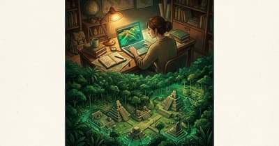
Luke Auld-Thomas kept going.
He was a Tulane PhD student searching for lidar data from Campeche, Mexico, not hacking through jungle with a machete. Somewhere in that neglected back room of the internet, he found an environmental laser survey made for another purpose entirely. It was public. It was available. It was, in the strange way of modern archives, hidden in plain sight.[1]
Then he looked at it differently.
Lidar is a way of mapping the ground from the air with laser pulses. In a forested place, it can do something almost rude to the landscape: it ignores the leaves. Under the green surface, it can reveal lines, platforms, plazas and mounds that the human eye would walk past for years. When Auld-Thomas processed the Campeche data as an archaeologist, the blankness began to fill in.[2]
There were pyramids. There were causeways. There was a ballcourt, reservoirs and dense settlement. The researchers called the city Valeriana, after a nearby lagoon.[1]
The discovery is easy to file under lost city, which sounds romantic and familiar. But Valeriana is more interesting than that. It was not lost in the old way. It was not waiting for the first brave outsider to arrive. People lived near it. Roads were not impossibly far away. The evidence had already been collected. The city was waiting for someone to ask the existing data a better question.
In the Antiquity paper, Valeriana appears as two monumental hubs about 2 kilometers apart, connected by settlement and engineered land. The larger precinct included enclosed plazas, temple pyramids, a broad causeway, a reservoir made by damming an arroyo and what was probably an E-Group architectural complex.[2]
The numbers are what make the story stop feeling like a curiosity. Across the dataset, the team identified 6,764 structures. Around Valeriana, settlement and agricultural infrastructure filled a 16.6 square kilometer survey area. The BBC reported that researchers estimate the city may have held 30,000 to 50,000 people at its height, around AD 750 to 850.[1]
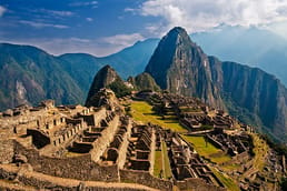
That matters because empty forest has long been one of the laziest stories outsiders told about the ancient Maya world. Lidar keeps making that story smaller. In northern Guatemala, a 2018 Science study found more than 61,000 ancient Maya structures beneath the canopy, along with signs of agriculture, roads and defensive works.[3]
Valeriana adds a quieter lesson. The frontier of discovery is not always a distant place. Sometimes it is a stale search result, an old dataset, a file made for somebody else's project. Sometimes the blank space on the map is not blank at all. It is just waiting for a more patient reader.